Choose the right tools across the sensor-to-digital-twin pipeline.
GeoBIM-AI publishes independent, expert-led guides on digital twin sensors, GIS software, drone LiDAR vs TLS, SLAM technology and the IoT platforms that tie it all together.
Independent answers for a pipeline nobody covers end-to-end.
Genuinely independent
No vendor pays for a higher ranking. Affiliate links never change a verdict, and we disclose every one.
End-to-end expertise
From RTK GNSS drone survey accuracy to ArcGIS vs QGIS, BIM 360 and AWS vs Azure IoT, one resource for the whole chain.
Decision-ready comparisons
Side-by-side specs, pricing and accuracy tradeoffs, built for procurement teams and engineers.
The coverage map
Four stages. One continuous data pipeline.
Capture
Reality capture
Get the geometry off the ground and into points, accurately and repeatably.
Process
GIS & spatial
Clean, georeference and analyse the data with the right spatial stack.
Model
BIM & AEC
Turn surveyed reality into structured, coordinated building models.
Operate
IoT & digital twin
Stream live sensor data into a twin that runs, monitors and predicts.
Latest from the field
Recent guides & comparisons.
LiDAR & TLS
Drone LiDAR vs TLS: which one for your site?
Coverage speed, point density and absolute accuracy compared.
GIS Software
ArcGIS vs QGIS in 2026: the honest breakdown
Licensing, geoprocessing, scripting and team scale.
Digital Twin
AWS IoT vs Azure IoT for a digital twin platform
Device management, twin modelling and ingest cost compared.
Trusted by practitioners
What the people who deploy this say.
The drone LiDAR vs TLS breakdown saved us a five-figure mistake.
Daniel Okafor
Survey Operations Lead
Their ArcGIS vs QGIS guide is required reading for new analysts on my team.
Priya Nair
GIS Analyst, Smart City
Finally a resource that follows the data all the way to the digital twin.
Marcus Reed
IoT & Infrastructure Engineer
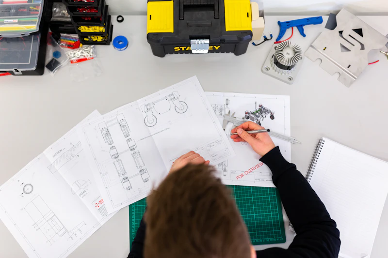
About GeoBIM-AI
Built by practitioners, for practitioners.
GeoBIM-AI started because the people choosing geospatial and digital twin software had nowhere neutral to turn. We connect the dots, from sensor to digital twin.